
The Floating Piers interactive Map

Instructions for Use - Istruzioni d'uso
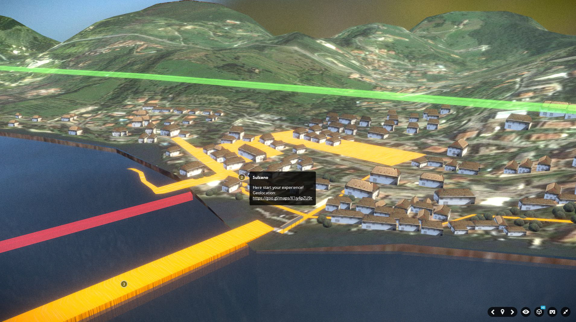
#Let's click on the numbers, to appear the information.
#Fai click sui numeri per far apparire le informazioni.

#If your smartphone or tablet hardly move the map, you should use the arrows to scroll through the notes and change view.
#Se il tuo smartphone o tablet fatica a muovere la mappa, è consigliabile utilizzare le frecce per scorrere le note e cambiare visuale.
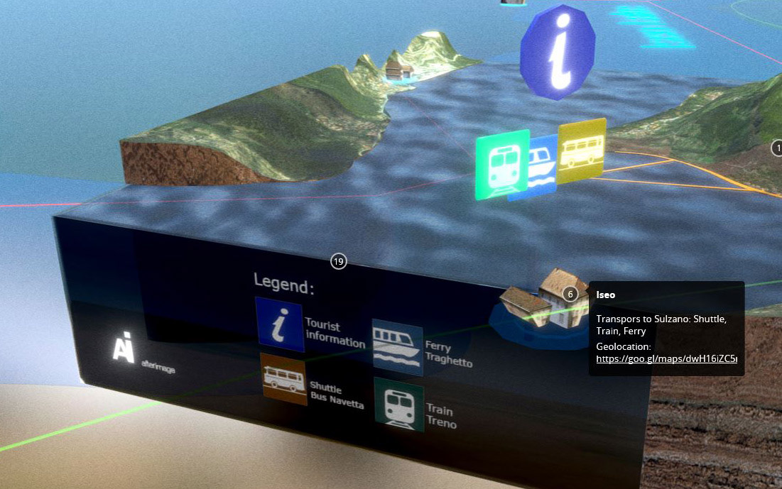
#The icons are about transports you can get, in every village, to reach the Floating Piers, and informations about parking.
#Le icone indicano quali mezzi di trasporto è possibile prendere, in ogni paese, per raggiungere il Floating Piers, e informazioni riguardanti i parcheggi.